Koněprusy Caves first in Europe to have 3D digital map

The Koněprusy Caves, the largest known cave system in Bohemia, are the first in Europe to have a digital map. It was created by a team of scientists using 3D scanning. A special camera allowed them to access places that have never been mapped before.
The Koněprusy Caves are located just 30 kilometres south-east from Prague, in the heart of a limestone region known as Bohemian Karst. The extensive cave system, formed millions of years ago, spans two kilometres in length with three levels.
They consists of passages, caverns and domed chambers rich in striking stalactites and stalagmites. The biggest attraction are the so-called Koněprusy rosettes, formed by calcium carbonate that dissolved along the edges of an underground lake.

The caves were also known to prehistoric humans as evidenced by fossilised bones and stone tools that were found inside, dating back some 13,000 years. And, with a consistent temperatures of about ten degrees Celsius year round, they also provide an important wintering ground for bats.
The Koněprusy Caves were discovered in 1950 after an explosion in a nearby limestone quarry. They opened to the public nine years later and have since become a popular place for cavers. Until recently, however, there was no accurate map of the underground system available, explains Karel Drbal from Czechia’s Cave Administration:
“All we have had from the Koněprusy Caves until now were classic maps, but it's hard to see how it all looks in context, what the connections are between the individual passages.
“Thanks to this detailed information, we can now introduce, for example, conservation methods and goals. And we can also plan further speleological research.”

Creating a digital copy of the Koněprusy Caves was not an easy task, says geoinformatics expert Jiří Šindelář:
“Imagine that you have to scan a space that you can barely fit your head into. You are hanging on a single rope at a height of 30 metres, you must not fall, but at the same time you have to shoot while going up and down.“
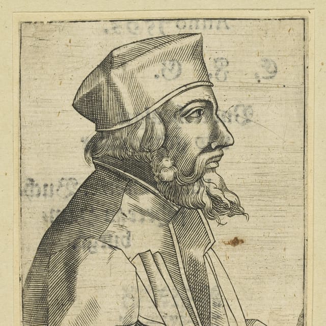
The new model of the Koněprusy Caves includes a 3D reconstruction of the face of a prehistoric woman, whose remains were found in the largest area of the caves, the Prošek Dome, in the 1950s.

The skull of the woman, which carries the oldest known genome of modern humans, was named the Golden Horse after the limestone hill in which the famous caves are located.
Thanks to digital reconstruction, scientists have a better idea of what she might have looked like, says Jiří Šindelář.
“She had a really robust face. We compared it with thirty other skulls, 35 to 45 thousand years old. It turned out that this woman had a really big, I would say even huge, brain and a very robust jaw that looks more like a Neanderthal’s.”
The 3D digital model of the Koněprusy Caves will be accessible to the public next year in the Czech Karst House of Nature visitor centre.


